Rentschler Field
Opened in 1933
Appears in
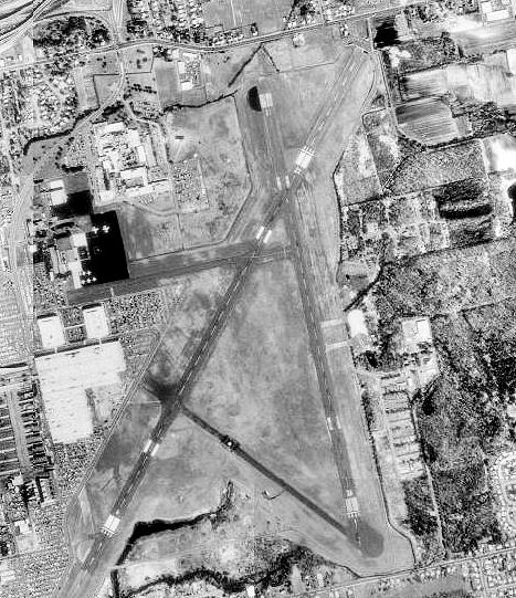
Venue Information
Year Opened
Year Closed
Location
Elevation
14 m above sea level
Location derived from the venue's coordinates using data © OpenStreetMap contributors, available under the Open Database Licence (ODbL).
Elevation of the venue's coordinates from USGS and NASA SRTM elevation data, via Open Topo Data.
The site today
- The site is now occupied by Pratt & Whitney.
From OpenStreetMap data near the venue's recorded coordinates, © OpenStreetMap contributors (ODbL). Maps show what is there now, not the old footprint.
Frequently Asked Questions
When was Rentschler Field built?
Rentschler Field opened in 1933.
What is on the site of Rentschler Field today?
The site is now occupied by Pratt & Whitney.
Sources
Where the facts on this page were read from. How VenueStats compiles them.
- Open Topo Data (Public domain): Elevation.
- OpenStreetMap (ODbL): What stands on the site today.
- OpenStreetMap Nominatim (ODbL): Location.
- VenueStats compilation: Opening and closing years, name history and teams (compiled by VenueStats from Sports Reference and Wikipedia).
- Wikidata (CC0): Coordinates (Wikidata places the building within 0 m of this point).
- Wikimedia Commons (Public domain): Photograph.
Location
Nearby Venues
| Venue | Years | Distance |
|---|---|---|
| Pratt & Whitney Stadium | 2003– | 0.7 mi |
| East Hartford Velodrome | 1926–1929 | 1.9 mi |
| Hartford Ball Club Grounds | 1874–1876 | 2.1 mi |
| PeoplesBank Arena | 1975– | 2.7 mi |
| Arute Field | 1969– | 8.0 mi |
| Mansfield Club Grounds | 1872–1872 | 14 mi |
Straight-line distance between the venues' coordinates.
References
Every source for the facts on this page is listed under Sources.